Land Surveyors
Gtg Geo Technicals Solutions Pvt. Ltd. uses advanced drone technology to provide highly accurate and detailed GIS Survey, Topographic Survey, Drone Inspection, Drone Mapping, Power Line Monitoring, Smart City Survey, Road Inspection & Survey, Mines Survey, Flood Assessment, Asset Monitoring, Solar Thermal Inspection, Security and Surveillance, Crop Health Monitoring, Volumetric Measurement, Drone 3D Mapping & Modelling, Aerial Photography & Videography, and other services.
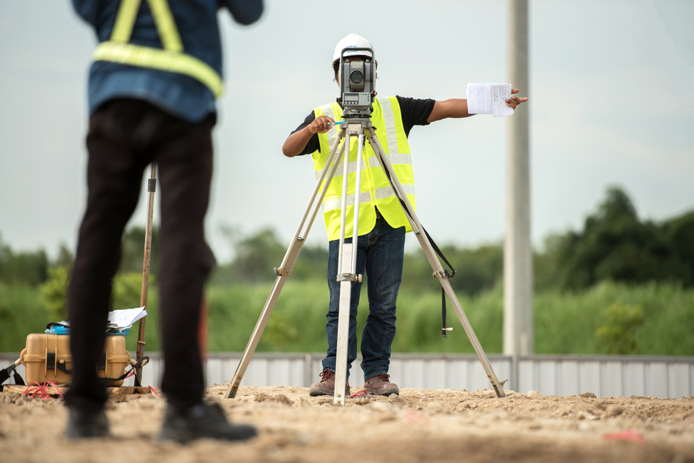
This service entails meticulously measuring the physical characteristics of the land. Our survey engineers determine the land dimensions, distances, and angles based on these verifications.
Geometry, trigonometry, engineering, arithmetic, and physics ideas are used to achieve precise findings. Land development and construction projects benefit from the use of cutting-edge technologies such as GPS, AutoCAD software, and digital photography.